
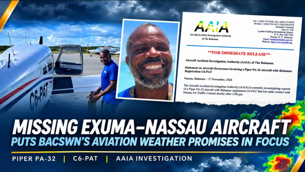
NASSAU| The disappearance of a small aircraft travelling from Exuma to Nassau, with thunderstorms reported near Nassau around the time contact was lost, has raised questions about whether advanced aviation weather and flight-tracking services could provide pilots with better information during rapidly changing conditions.
The Aircraft Accident Investigation Authority said the Piper PA-32, registration C6-PAT, departed Exuma International Airport on Sunday, November 1, with one person aboard.
The pilot was communicating with Nassau Air Traffic Control before radar contact was lost shortly after 3 p.m., approximately 30 miles southeast of Lynden Pindling International Airport.
Air Traffic Control activated emergency protocols, and the Royal Bahamas Defence Force dispatched a vessel to the aircraft’s last known position. The Bahamas Air Sea Rescue Association and volunteers from Black Point joined the search, while the United States Coast Guard was contacted for assistance.
Authorities have not confirmed that the aircraft crashed or determined why contact was lost.
The Department of Meteorology had issued a severe thunderstorm warning from 12:40 p.m. until 2:40 p.m. At 3 p.m., the official observation at Lynden Pindling International Airport recorded light thunderstorm rain and cumulonimbus clouds overhead and in all directions.
Those conditions do not establish that weather caused the aircraft’s disappearance. Investigators must examine radar information, communications, the aircraft’s condition, the pilot’s decisions and other evidence before reaching any conclusion.
However, previous Bahamian aviation investigations have demonstrated how dangerous weather can become a factor. A final report into a September 2024 Piper Aztec crash identified poor visibility and thunderstorms among the contributing factors. In a separate September 2026 North Andros crash, a preliminary report found that the pilot had been warned of moderate to extreme precipitation before reporting rough turbulence.
If weather is ultimately found to have played a role in Sunday’s incident, a key question will be whether services proposed by the Bahamas Aviation, Climate and Severe Weather Network could have provided useful additional information.
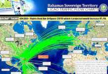
BACSWN says its network is intended to combine radar observations, satellite imagery, surface reports, lightning information, forecast models and live aircraft tracking within a more integrated aviation weather system.
Such information could potentially help pilots and controllers identify dangerous weather cells earlier and make decisions to delay a departure, divert or change course.
Whether those services could have made a difference on Sunday cannot presently be answered. That would depend on which systems were operational, what information was available, whether it reached the pilot or controllers in time and whether the pilot was able to act on it.
The Department of Meteorology remains the country’s officially designated aviation weather provider. BACSWN’s stated role is to strengthen the supporting infrastructure and integrate additional weather and tracking capabilities.
The disappearance nevertheless moves the BACSWN debate beyond proposed fees and financing. It places attention on the practical question of what additional information the network would provide during an aviation emergency and how quickly that information would reach pilots flying between the islands.